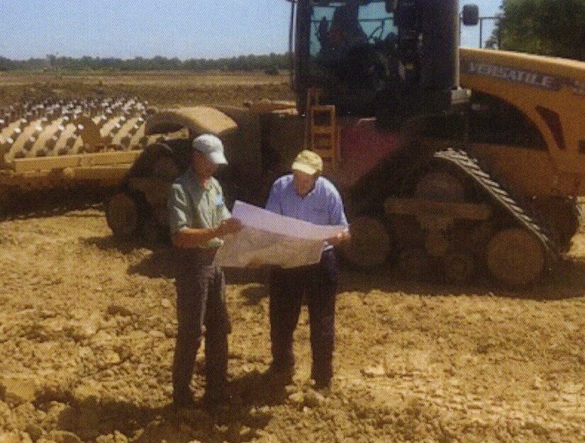
Two Brookside scientists reviewing plans at a construction site

Projects

Selected projects

A partial list of projects completed by the Brookside and Yoder Baer & Associates team since 2003.

Dozens of projects, 20+ years, 1 dedicated team

Delineation & 404 permitting

2020Residential development273 acresHwy. N, Cottleville, Mo.
2020Residential development200 acresNorth Point Prairie Road, Wentzville, Mo.
2019Residential development54 acresHwy. 61, Wentzville, Mo.
2019Athletic field44 acresMeramec Bottom Road, St. Louis County, Mo.
2019Stream corridor3,250 feetRt. 79, Foley, Mo.
2017Residential and commercial development46 acresHwy. N, O’Fallon, Mo.
—American Foods Group beef processing facilitySection 404 permittingWarren County, Mo.
2009–10High Ridge Commons13-acre borrow siteJefferson County, Mo.
2008–10Chesterfield Valley1,900-acre retail areaChesterfield, Mo.
2008Development site33 acresBroken Arrow, Okla.
2007–08Dardenne Greenway Trail3-mile pedestrian and bike trailSt. Charles County, Mo.
2007Commercial development19 acresHwy. 61, Wentzville, Mo.
2007River Crossing at Mineral Station130-acre retail developmentLittleton, Colo.
2007Ortmann Farms125-acre retail developmentMaryland Heights, Mo.
2007Crossroads DevelopmentStream delineationWentzville, Mo.
2006–08Newberry Town Centre80-acre retail developmentNewberry Township, Pa.
2006–07Manchester Highlands80-acre retail developmentManchester, Mo.
2005Wilmer Farm residential development184 acresWilmer Road, Wentzville, Mo.
2005Wentzville Bluffs commercial development29 acresHwy. Z, Wentzville, Mo.
2005Aerofil Technologies industrial expansion4.5 acresSullivan, Mo.
2004Brush Creek Sewer District2,800-acre sanitary sewer systemFranklin County, Mo.
2004The Doe Run Company smelting plant58-acre slag storage expansionHerculaneum, Mo.
2004Residential development25 acresO’Fallon, Mo.
2003Public Water Supply District No. 55-mile water supply lineClay and Jackson counties, Mo.
2003Madisonville Road bridge replacement5 acres, Spencer CreekRalls County, Mo.
—Washington Rotary Riverfront Trail3-mile pedestrian and bike trailWashington, Mo.
Wetland & stream mitigation

2015Peruque Creek stream mitigation bank42 acresWilmer Road, Wentzville, Mo.
2008Wetland mitigation site10 acresSt. Peters, Mo.
2008Belle Vista and Ohmes Farm subdivisionsMitigation planSt. Peters, Mo.
2007Spring Mill EstatesOff-site mitigation planSt. Charles County, Mo.
2006Stream mitigation site10 acresWilmer Road, Wentzville, Mo.
—Ohmes residential development10-acre created wetlandWentzville, Mo.
—Wentzville Bluffs10-acre riparian habitat restorationPeruque Creek tributary, Wentzville, Mo.
—Manchester Highlands2.9-acre riparian habitat restorationGrand Glaize Creek tributary, Manchester, Mo.
—Chesterfield Valley mitigation sitesEvaluation of 289 acresChesterfield, Mo.
—Shaw Nature Reserve6-acre created wetland and riparian restorationGray Summit, Mo.
—Shaw Nature Reserve1-acre riparian habitat enhancementGray Summit, Mo.

Water quality & monitoring

2010Incline VillageWater quality testing for lake restorationIncline Village, Mo.
2009Spencer and Dardenne creeksWater quality testing for a QUAL2K modelSt. Charles County, Mo.
2009St. Charles CountyMS4 Phase II illicit discharge trainingSt. Charles County, Mo.
2008Dardenne and Peruque creeksClean Water Initiative water testingSt. Charles County, Mo.
2008City of CottlevilleCompensatory mitigation monitoring report and guidelinesCottleville, Mo.
2007Lake water quality analysisWater quality studyMissouri

Compliance & SWPPP

2019EPA Order for ComplianceStream restoration planMissouri
2018–20Silver Pine RidgeSWPPP monitoringWentzville, Mo.
2019–Cottleville TrailsSWPPP monitoringCottleville, Mo.

Prairie restoration

—I-44 Native Landscaping Project50-acre roadside prairie restorationI-44 at I-270 and Hwy. 141, St. Louis County, Mo.
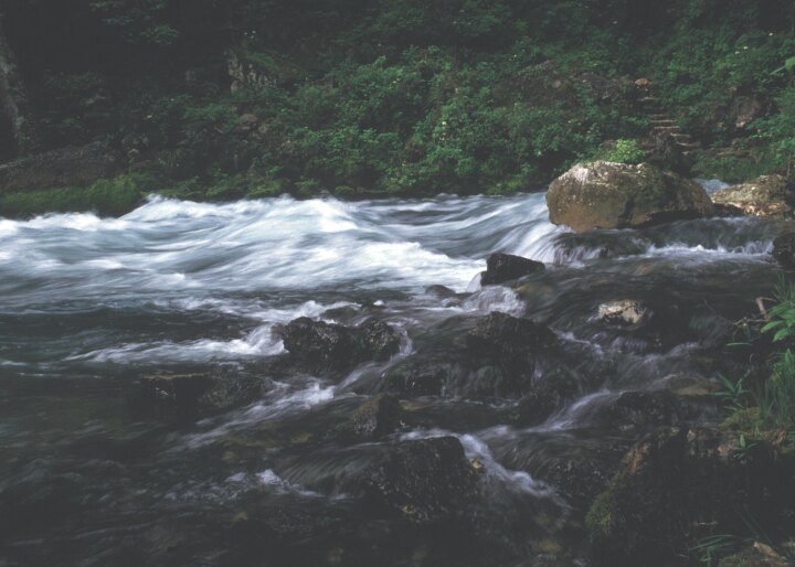
Clear water rushing over rocks below a forested bank

Tell us about your project

If you’re looking at a property, planning a development or working through a permit requirement, give us a call or send a note.

Contact us
